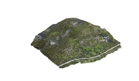
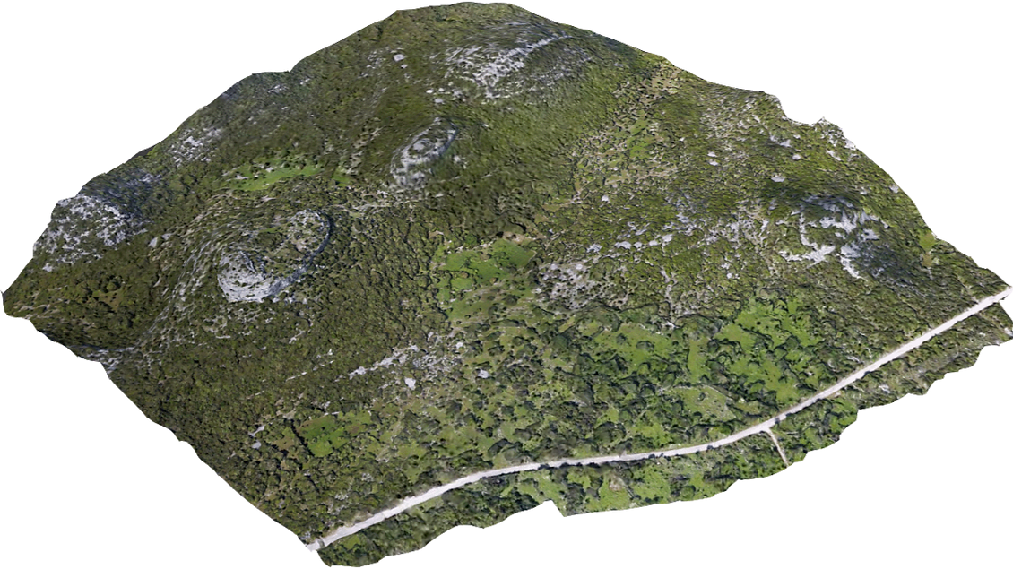
UAV – Unmanned Aerial Vehicle.
Photogrammetry represents technologies and approach of collecting aerial and science measurements on photographs.
The results obtained from photogrammetry are usually a map, a drawing or a 3D model of an actual object or landmass also volumes, profiles, orthophoto, dimensions, positions of objects. A digital surface model (DSM). Centimetre accuracy can be achieved.
To create 3D maps from aerial photogrammetry, the camera is mounted on the drone and is usually pointed vertically towards the ground.
Using photogrammetry to create 3D models of monuments or statues, the camera is mounted horizontally on the UAV.
To overlap photos of an object or land by 80 to 90% would be impossible to complete accurately by pilot navigation. It is essential to have a UAV which has waypoint navigation technology.
Skygorilla offers the service of high-quality aerial video material. Suitable for use in:
The results obtained from this photogrammetry are:
Marketing purposes for sale or rent